I am lucky to live (curently) right on the edge of the South Downs National Park in South East England. The South Downs has so much to offer for trail running enthusiasts.
In this post I’ll cover some of the locations, trails and areas that I really enjoy running that are a part of (or border on) the South Downs National Park.
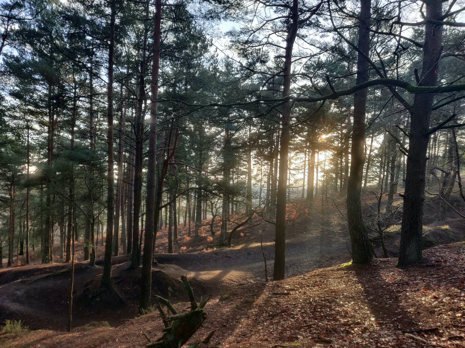
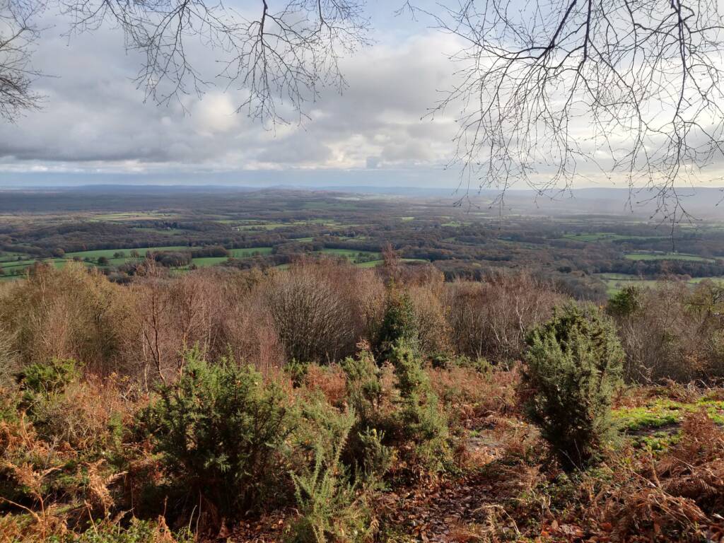
Sprawling views such as the one above can be had from many locations if you head out for a bit South Downs trail running!
What You’ll Find in the South Downs
South Downs trail running is a great way to discover the truly amazing things this national park has to offer.
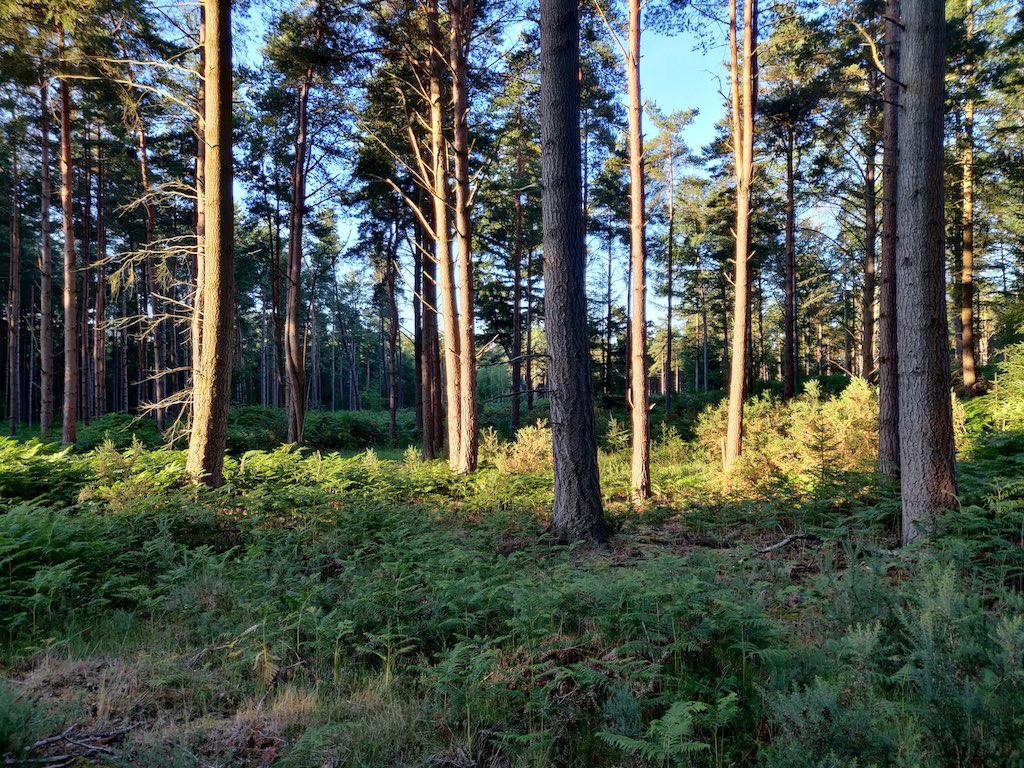
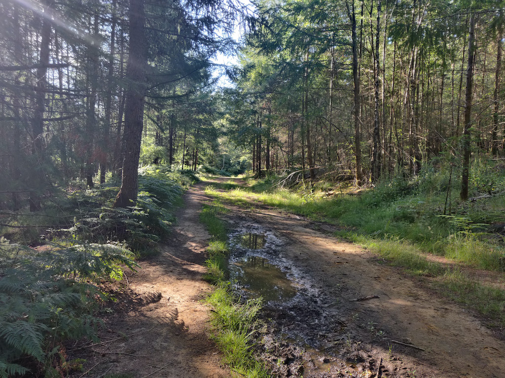
You’ll find undulating hills, grasslands, heathland, plenty of rivers, quaint villages, woodland and forest and even some great coastal views when you get down to the white cliffs.
South Downs Trail Running Routes
The South Downs hosts one of England’s 15 famous national trails, The South Downs Way. This trail goes all the way from the city of Winchester in the west, (which was the first capital of England), all the way through to the white chalk cliffs in the east. It is approximately 160 km’s in length and is mostly all off-road.
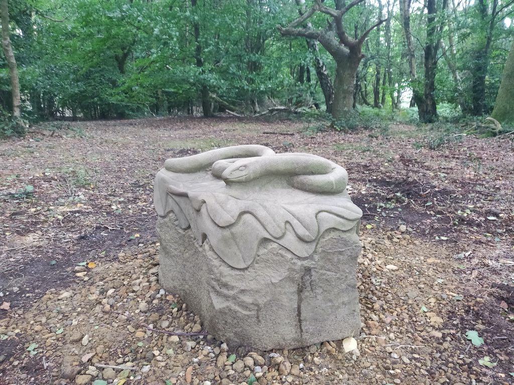
The Serpent Trail is yet another long distance trail within the borders of the South Downs National Park. It stretches from Haslemere to Petersfield. This is my personal favourite. I regularly run segments of this, and have also completed a couple of ultra marathon distance routes along it too.
Specific Trails and Shorter Routes
If you’re looking for a bit of inspiration, or easily accessible routes to run in and around the South Downs National Park, here are some of my favourites…
Trail Running near Haslemere
- National Trust Swan Barn Walk – this is near the town center (look for the clock tower in the middle of the road). Find parking nearby and head down the hill for your trail run. There are plenty of route diversions here. You can head toward Grayswood, or up hill toward Blackdown. This is also pretty much the starting point of The Serpent Trail.
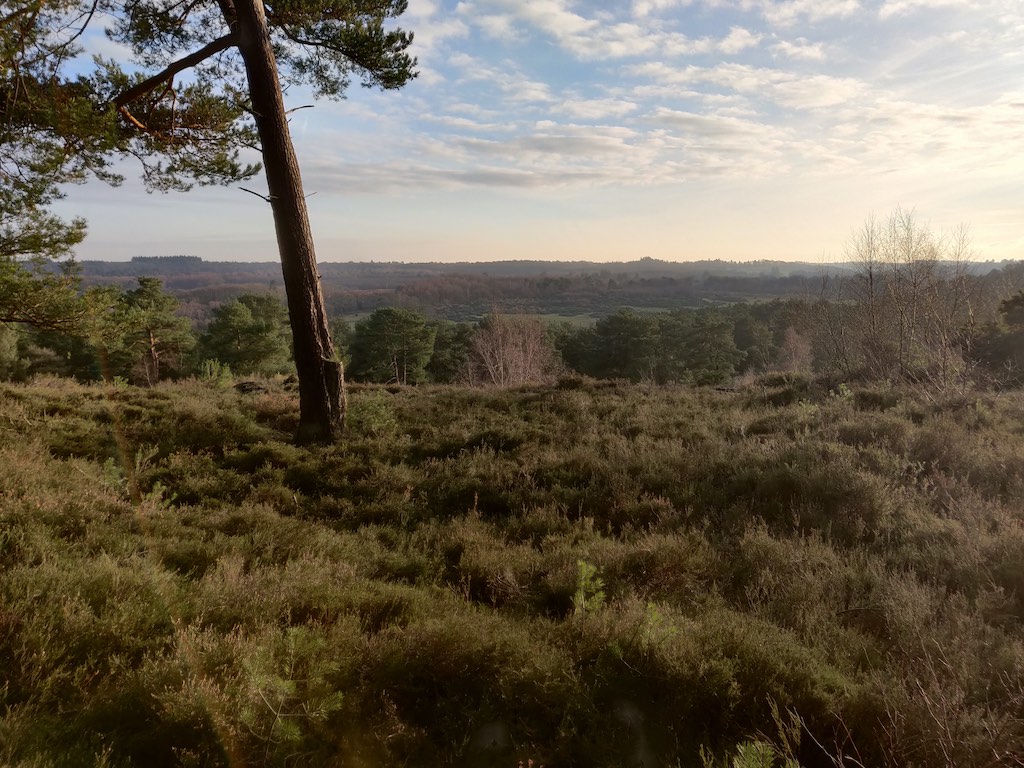
- Blackdown and the Temple of Winds. There is parking around the base of the hills going up to Blackdown, or if you’re local you can run up from Haslemere. At the top (Temple of Winds) you’ll discover a breathtaking panoramic view of the surrounding area. Well worth the hill climbing!
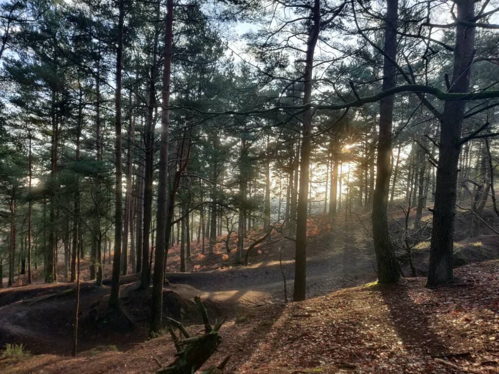
- Haslemere to Grayswood. Starting in Haslemere on Grayswood Road, you can head up Highercombe Road. Take a left at the top and then run down the following hill. You’ll end up in some woodland between Haslemere and Grayswood which is fun to explore. When exiting, you’ll most likely end up near a big sports field. Follow the road going past all the houses (Lower Road) and then take a left at the T-junction into Prestwick Road. Soon you’ll find a bit of woodland with a nice trail running through in a loop on your right. You can run to Chiddingfold and many other locations from this area.
Trail Running Near Liphook
Closer To Liphook
- The Deers Hut. Park by the pub, or at the nearby Old Thorns golf course / resort and head up the trails just off road about 100 yards up from the Deers Hut. Through these trails you can can branch off into Weaver’s Down, and end up in Liss. From Liss you can run up into the Serpent Trail and beyond. One of the trails nearby the Deer’s Hut (if you keep left and along the bottom of the hill) will take you to Champney’s Health / Spa resort as well as Liphook Golf Course. Part of the Serpent Trail winds around this area too, giving you another access point.
- Conford House / Pond route to the Longmoor military ranges. If you start at this GPS coordinate: 51.086435, -0.812924, you will see a dirt road path accessible by foot that you can follow down past some horse meadows. Keep going and you’ll pass the Conford area with a stunning pond and water way. Take a left after passing two brick pillars and onto a road. You’ll cross over a river. Keep going and you’ll end up on the military range track. If the flags are down you can enter the range area and run around on these awesome trails. Alternatively you run the 10km gravel track which surrounds the local military shooting ranges.
- Radford Park. Radford park has some brilliant trails that surround a few bodies of water, branching river ways, and even a small waterfall or two. It’s a short route, (maybe 1-2 km around) but a nice loop to cover if you’re passing through.
A little further out of Liphook
- Bramshott Common and Waggoners Wells. If you head up to Bramshott Common in the late afternoon or dusk, you’re very likely to spot Deer. It’s quite an open area with sporadic wooded parts to explore. Waggoner’s Wells is a short mile or so from the edge of Bramshott Common. A very interesting trail goes all the way around the ponds, or ‘wells’. There are lots of old tree roots and changes in elevation to make things a bit interesting.
- Devil’s Lane to Iron Hill. From Radford Park you can easily make your way to Devil’s Lane, a quiet road that goes up toward the Highfield and Brookham schools. Cutting across Highfield Lane, you’ll get to Iron Hill. You can run up Iron Hill for a decent hill climb, or alternatively enter the Serpent Trail, choosing head or tail route depending on which way you wish to go.
Another view close to Deer’s Hut 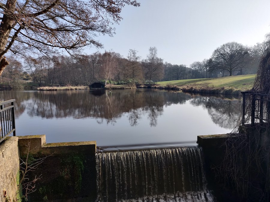
Conford 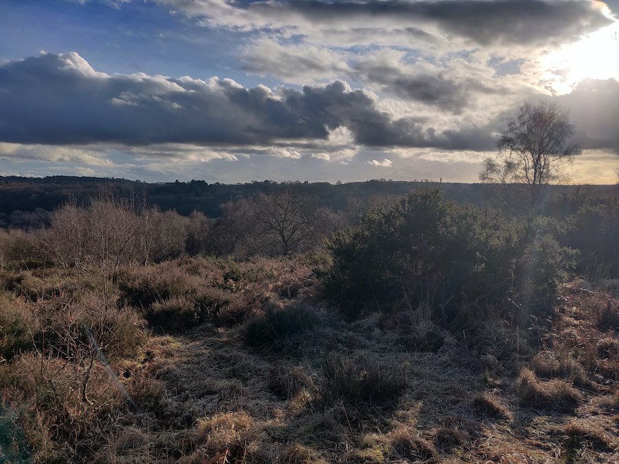
Bramshott Common 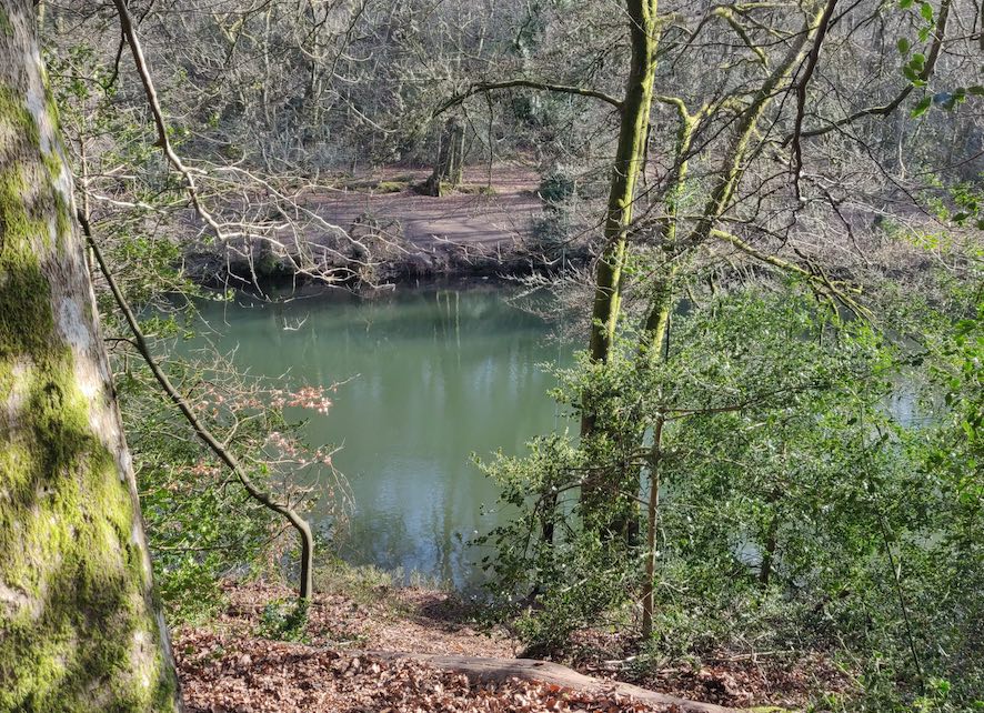
Waggoner’s Wells, near Bramshott, Grayshott, and Liphook
Harting Down
- The National Trust – Harting Down has parking and a great area with some decent hills and elevation to run. You’ll get some great views down and across the hills.
Golden Valley / Beacon Hill / Frensham
- Beacon Hill has some lush woodlands and is right near Golden Valley. The area is great for trail running. Head down into the valley and explore the area. It is possible to connect up quite easily with locations in and around Liphook, Haslemere, and Frensham if you want a bit more distance. To get to Liphook I would advise looking for the underpass that goes under the A3 motorway. It takes you into Bramshott common, from which you can reach Liphook easily enough.
- Fresham is famous for the Frensham Ponds and the spectacular heathland around them. There are lots of interesting trails that weave around the ponds and through the heathland to explore here.
Go Explore Further
If you do take inspiration from any of the above, don’t just stick to these locations and trails. Almost every trail I’ve found in the South Downs National Park forks and splits into other trails. It’s a seemingly endless maze! If you get bored, just take the next split or fork in the path that you haven’t yet explored.
By doing this you have an almost infinite collection of trails and paths to run that never get old!